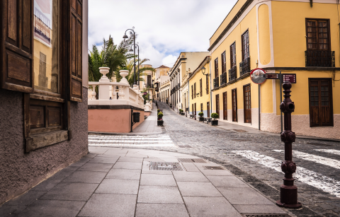
If you look at the ground, without crossing the street, you’ll find a peculiar mark on the pavement. It is a triangular inscription with a half arch, a number nine and a capital letter J on the volcanic stone guardrail, right next to a golden point. This marks recalls the revolutionary scientific method of triangulation that the Frenchman Jean-Charles de Borda put into practice in the late 17th century, here in La Orotava, to measure the height of the Teide volcano. This trigonometric method consisted of applying calculations starting from a triangle, whose points were the house of the Cologan family in Puerto de la Orotava, the nearby garden of the Franchy family, and the sea level. The measurements gave a result of 3,713 metres, which is just 5 metres off the 3,718 metres that the volcano is calculated to measure.
Jean-Charles de Borda also drew a complete map of the Canarian archipelago with a precision far superior to that of maps of the time. Outside the "Telesforo Bravo" Visitor Centre in Teide National Park, here in La Orotava, there’s a module that recreates de Borda's measurements and sheds light on the significance of his work.
For now, cross the street and continue straight on until reaching the Town Hall Square.


